Roc d’Azur 2025 : Rando Altitude.

En bref:

Point positif :
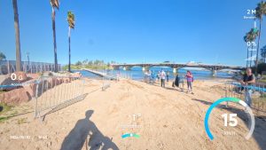
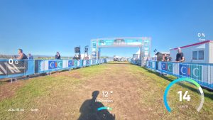
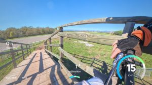
– Superbe organisation.
– Superbe parcours.
– C’est technique, la note de 4/5 est normale ….
Point negatif :
– Bouchon : un seul de 15 minutes.

Cette année j’ai mis 3h55 , l’année dernière 4h22.

Total distance: 41190 m
Max elevation: 240 m
Min elevation: 1 m
Total climbing: 1087 m
Total descent: -1085 m
Average speed: 14.10 km/h
Total time: 03:55:25
Download file: rocrando2025.gpx

J2S : Parcours VTT 2025

Le parcours de cette année :

Total distance: 14864 m
Max elevation: 248 m
Min elevation: 98 m
Total climbing: 480 m
Total descent: -441 m
Average speed: 12.78 km/h
Total time: 01:20:48
Download file: j2s-vtt.gpx

Roc d’Azur 2024 : Rando Altitude

En bref:

  • Point positif :
    • Superbe organisation.
    • Superbe parcours.
    • C’est technique, la note de 4/5 est normale ….
  • Point negatif :
    • Bouchon : un seul de 15 minutes.
    • A la fin sur les 10 derniers kilomètres, on est avec le triathlon : dossard bleu. L’enfer, ils sont en mode compétition.
    • Pour sortir du parking … 45 minutes.

Le parcours :

Total distance: 41437 m
Max elevation: 239 m
Min elevation: -1 m
Total climbing: 1294 m
Total descent: -1296 m
Average speed: 12.88 km/h
Total time: 04:29:11
Download file: rocazur2024.gpx

Quelques photos :

J2S 2024 : Parcours de VTT Loisirs

Comme toujours une superbe organisation et une très bonne ambiance.

Le parcours loisirs des J2S 2024 :

Total distance: 10962 m
Max elevation: 249 m
Min elevation: 100 m
Total climbing: 330 m
Total descent: -332 m
Average speed: 12.98 km/h
Total time: 01:29:08
Download file: vtt-js2-2024.gpx