Superbe randonnée, voici le parcours. (Pas le temps de faire du texte, désolé)
Le parcours à l’aller :
Total distance: 11782 m
Max elevation: 2342 m
Min elevation: 1487 m
Total climbing: 946 m
Total descent: -436 m
Average speed: 3.82 km/h
Total time: 03:47:05
Download file: Pfannkopfl.gpx
Max elevation: 2342 m
Min elevation: 1487 m
Total climbing: 946 m
Total descent: -436 m
Average speed: 3.82 km/h
Total time: 03:47:05
Pour le retour :
La carte :
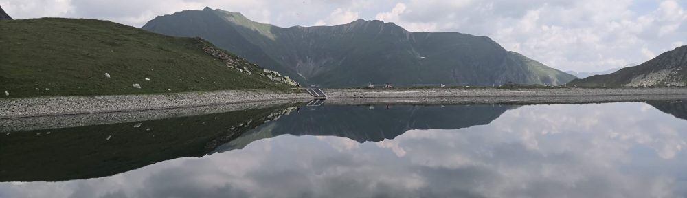
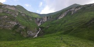
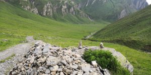
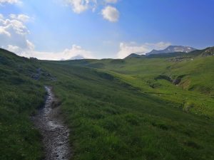
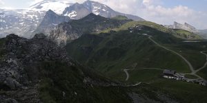
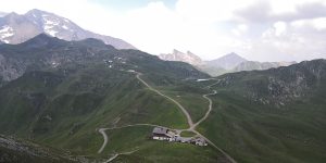
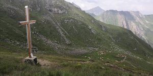
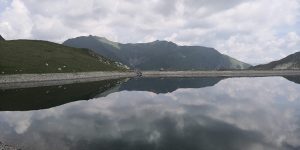
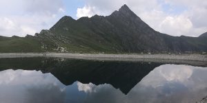
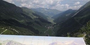
Quelques photos :
-
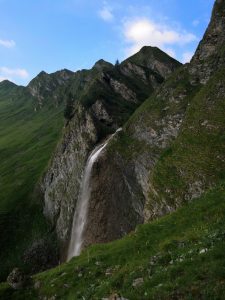
- Cascade
-
- cof
-
- cof
-
- sdr
-
- cof
-
- cof
-
- cof
-
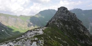
- Le sommet, attention ne pas chercher à monter.
-
- cof
-
- cof
-
- cof
-
- cof
-
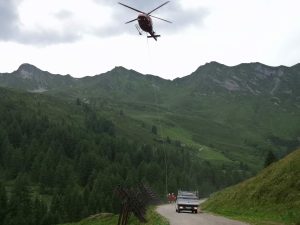
- Travaux avec hélicoptère
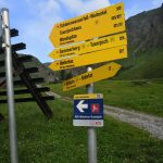
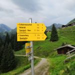
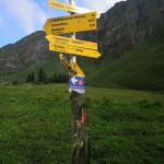
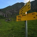
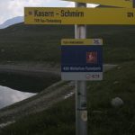
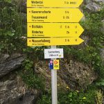
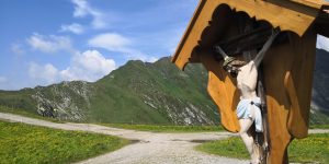
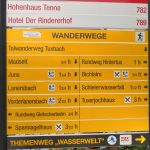
Quelques panneaux :
-
- smacap_Bright