En bref :
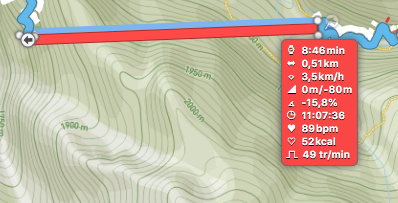
- Distance totale ( La boucle ) : 22,73 km (Source Garmin) .
- Distance « avec correction » : 23,09 km.
- Dénivelé : 1075 m (Source Garmin).
- Dénivelé « avec correction » : 1420 m.
- Temps actif : 5h40 (Source Garmin).
- Temps total ( « sportifs » , elle est longue ) : 7h40
- Temps conseillé sur les panneaux : 9h20.
LA BOUCLE :
Total distance: 23097 m
Max elevation: 2605 m
Min elevation: 1701 m
Total climbing: 1419 m
Total descent: -1404 m
Average speed: 3.87 km/h
Total time: 07:40:03
Download file: Cornelle.gpx
Max elevation: 2605 m
Min elevation: 1701 m
Total climbing: 1419 m
Total descent: -1404 m
Average speed: 3.87 km/h
Total time: 07:40:03
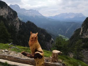
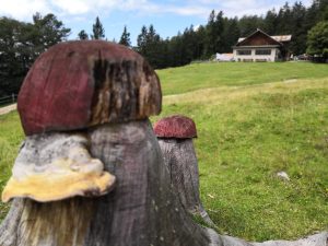
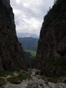
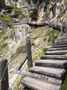
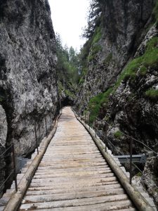
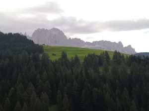
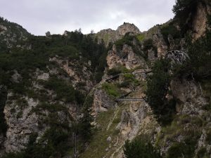
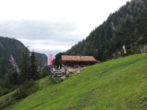
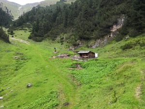
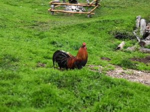
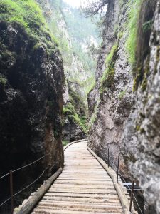
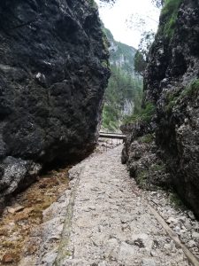
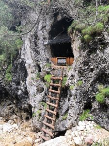
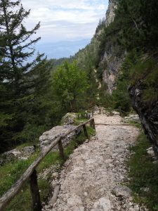
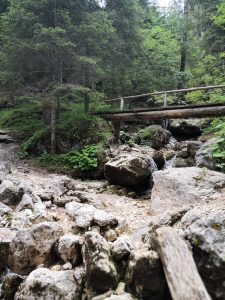
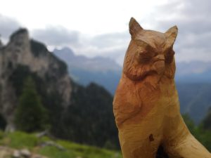
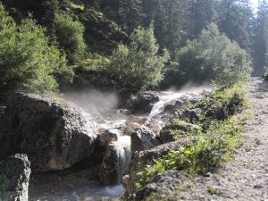
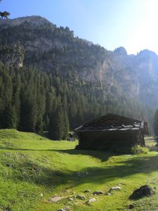
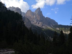
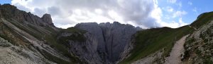
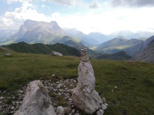
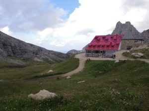
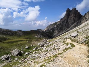
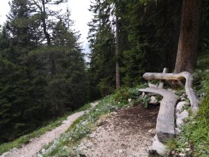
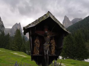
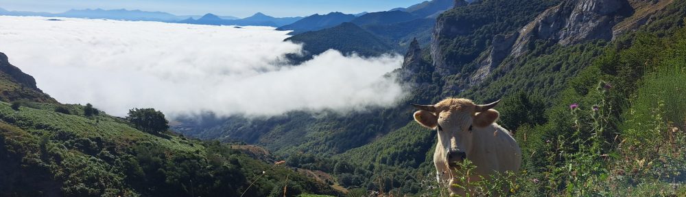
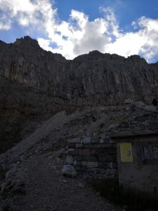
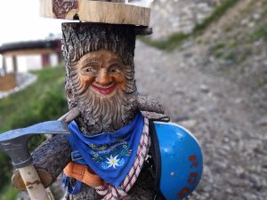
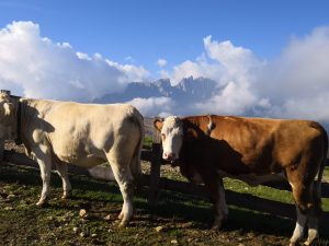
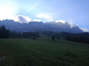
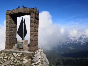
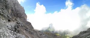
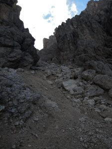
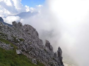
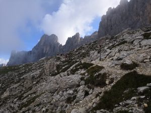
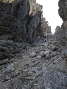
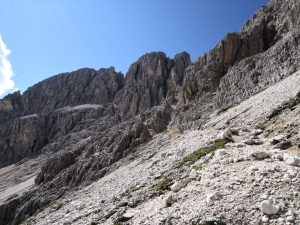
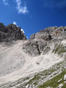
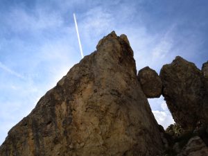
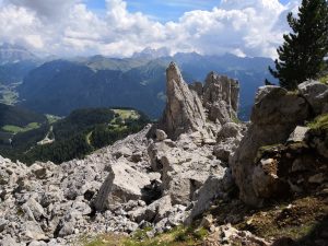
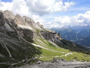
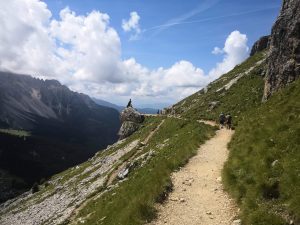
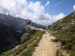
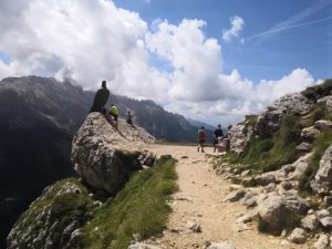
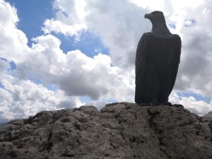
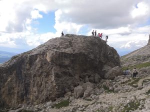
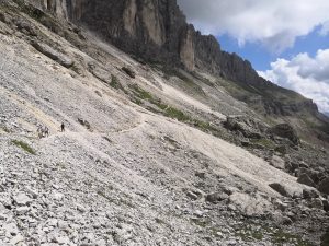
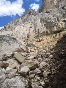
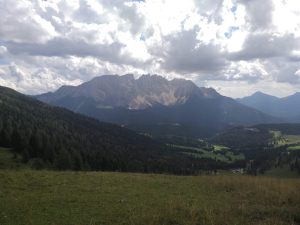
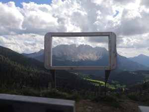
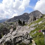
Quelques photos :
-
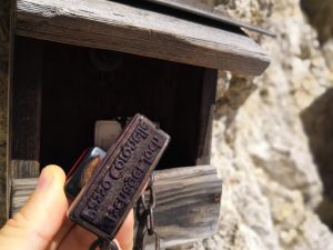
- Tampon au sommet
-
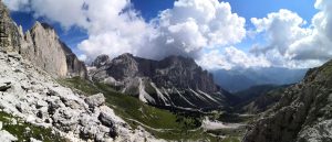
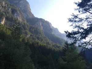
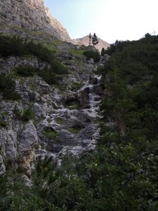
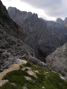
- Superbe
-
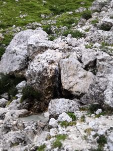
- Rocher coincé
-
- L’aigle v1
-
- L’aigle v2
-
- L’aigle v3
-
- L’aigle v4
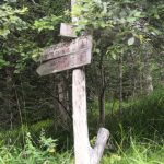
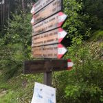
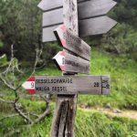
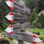
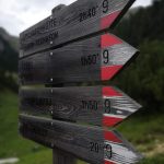
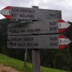
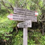
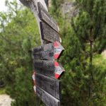
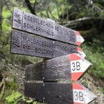
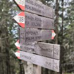
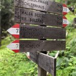
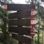
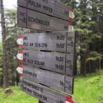
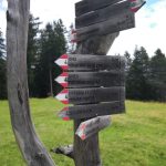
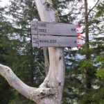
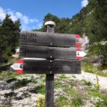
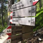
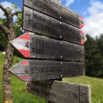
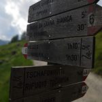
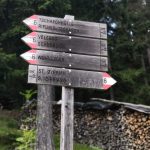
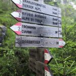
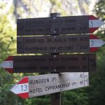
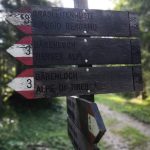
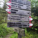
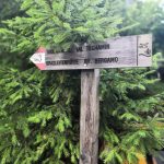
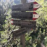
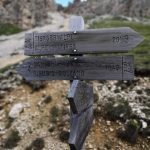
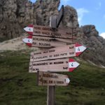
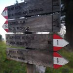
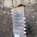
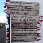
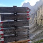
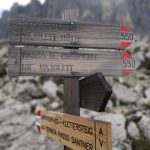
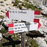
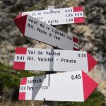
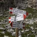
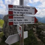
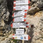
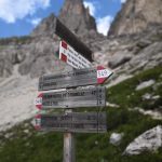
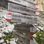
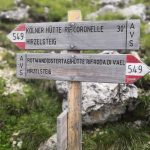
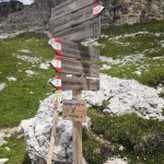
Les panneaux :
-
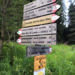
- Panneau n°01
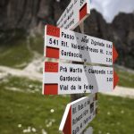
-
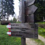
- Panneau n°02
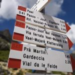
-
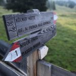
- Panneau n°03
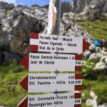
-
- Panneau n°04
-
- Panneau n°05
-
- Panneau n°06
-
- Panneau n°07
-
- Panneau n°08
-
- Panneau n°09
-
- Panneau n°10
-
- Panneau n°11
-
- Panneau n°12
-
- Panneau n°13
-
- Panneau n°14
-
- Panneau n°15
-
- Panneau n°16
-
- Panneau n°17
-
- Panneau n°18
-
- Panneau n°19
-
- Panneau n°20
-
- Panneau n°21