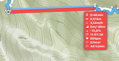
En bref :
- Distance totale ( La boucle ) : 10,79 (Source Garmin) .
- Distance « avec correction » : 11,44 km.
- Dénivelé : 969 m (Source Garmin).
- Dénivelé « avec correction » : 1071 m
- Temps actif : 2h21 (Source Garmin).
- Temps total ( « sportifs » ) : 2h44.
- Temps conseillé sur les panneaux : 3h40.
LA BOUCLE :
Total distance: 11440 m
Max elevation: 2158 m
Min elevation: 1186 m
Total climbing: 1072 m
Total descent: -1048 m
Average speed: 6.01 km/h
Total time: 02:44:08
Download file: Schafkopfe.gpx
Max elevation: 2158 m
Min elevation: 1186 m
Total climbing: 1072 m
Total descent: -1048 m
Average speed: 6.01 km/h
Total time: 02:44:08
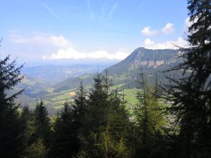
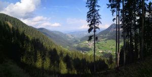
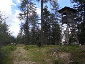
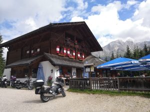
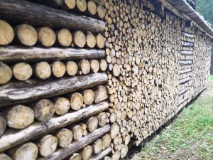
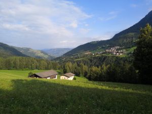
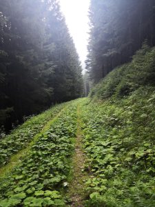
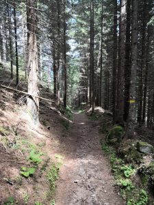
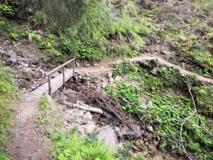
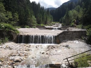
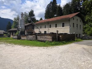
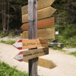
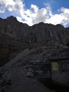
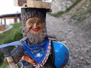
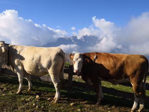
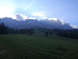
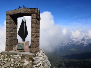
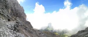
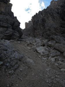
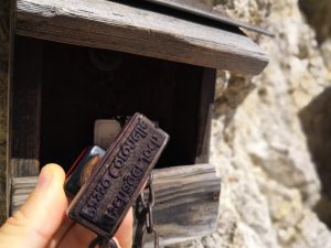
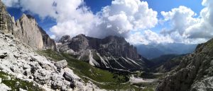
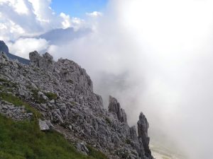
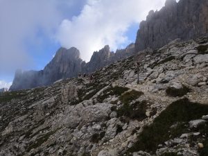
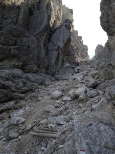
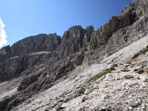
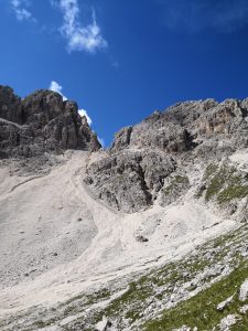
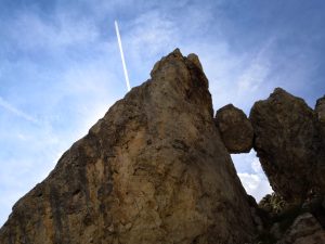
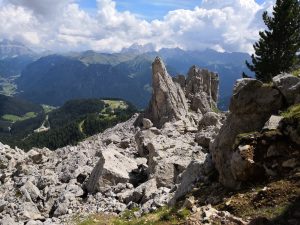
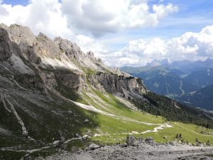
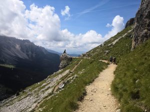
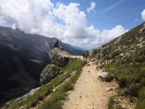
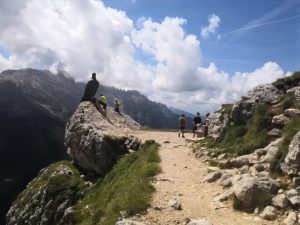
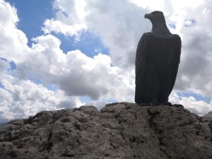
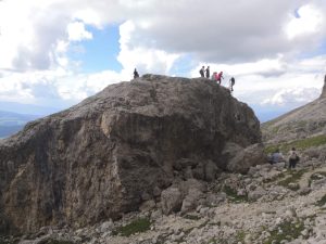
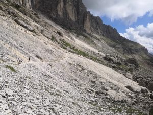
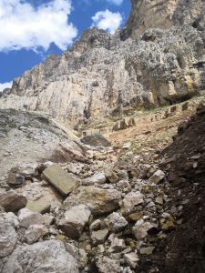
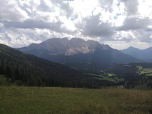
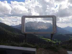
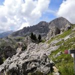
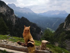
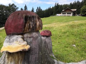
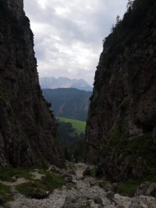
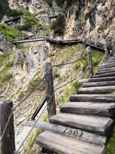
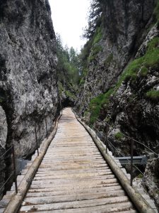
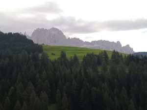
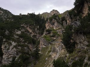
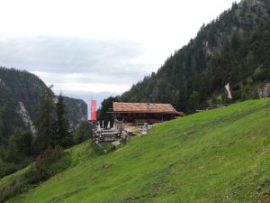
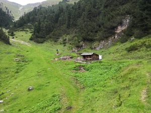
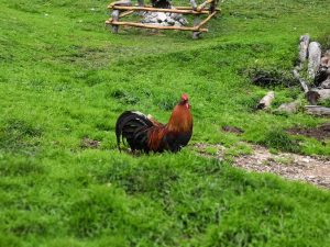
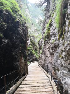
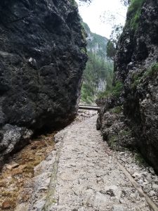
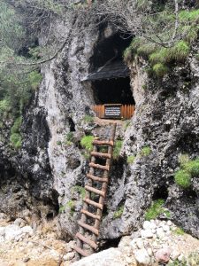
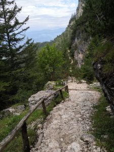
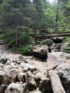
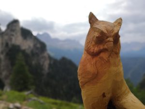
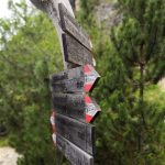
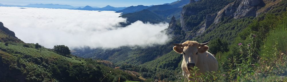
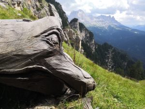
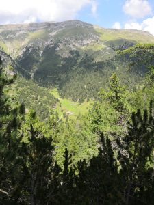
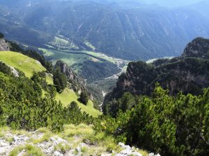
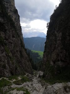
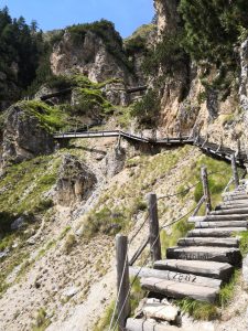
Quelques photos :
-

- ptr

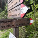
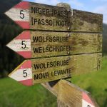
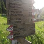
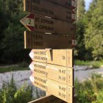
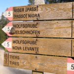
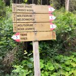
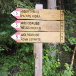
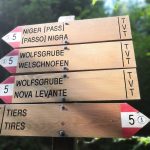
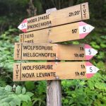
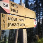
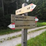
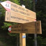
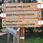
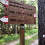
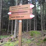
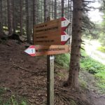
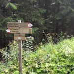
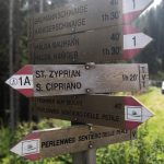
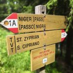
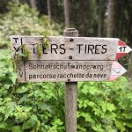
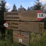
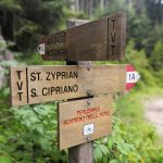
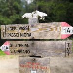
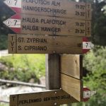
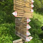
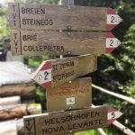
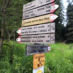
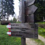
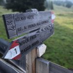
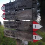
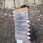
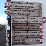
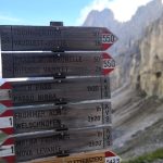
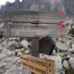
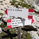
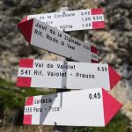
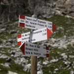
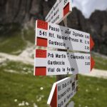
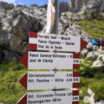
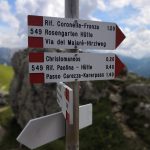
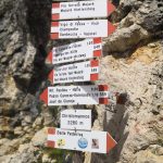
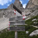
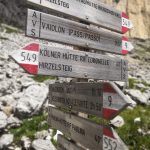
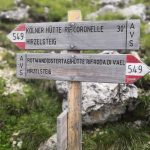
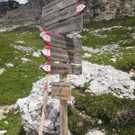
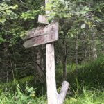
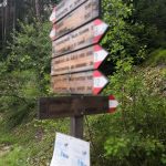
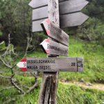
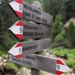
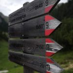
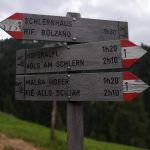
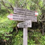
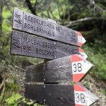
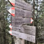
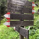
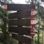
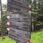
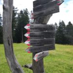
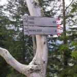
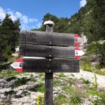
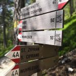
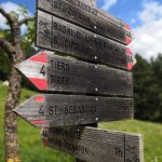
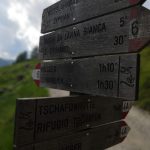
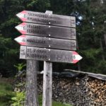
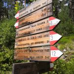
LES PANNEAUX :
-

- Panneau n°1
-
- Panneau n°2