Organisation : https://cheironmontagne.club/trail-des-cretes/
Le parcours :
Total distance: 11080 m
Max elevation: 1770 m
Min elevation: 1404 m
Total climbing: 600 m
Total descent: -604 m
Average speed: 7.81 km/h
Total time: 01:38:37
Download file: TrailGreoliere2023.gpx
Max elevation: 1770 m
Min elevation: 1404 m
Total climbing: 600 m
Total descent: -604 m
Average speed: 7.81 km/h
Total time: 01:38:37
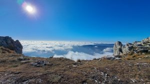
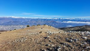
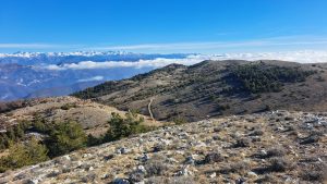
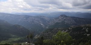
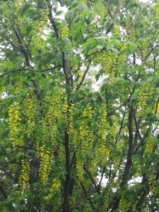
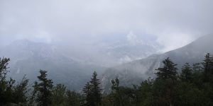
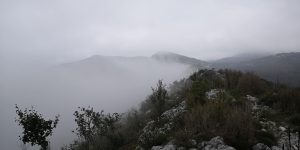
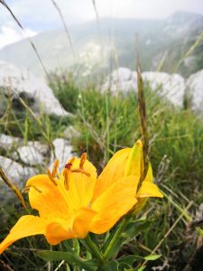
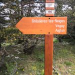
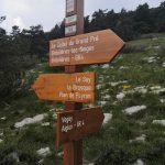
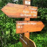
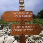
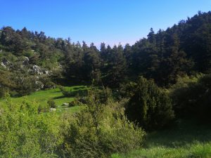
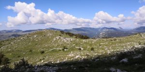
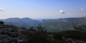
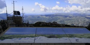
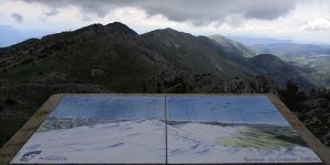
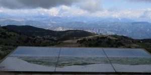
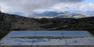
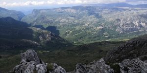
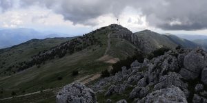
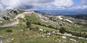
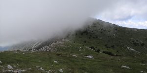
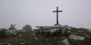
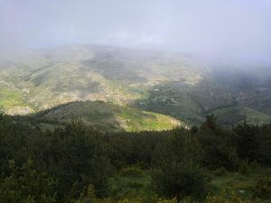
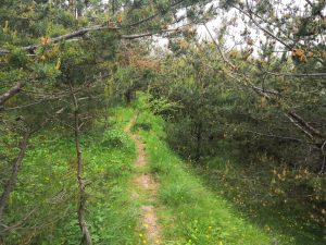
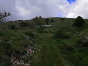
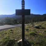
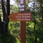
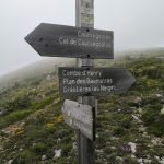
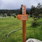
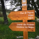
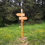
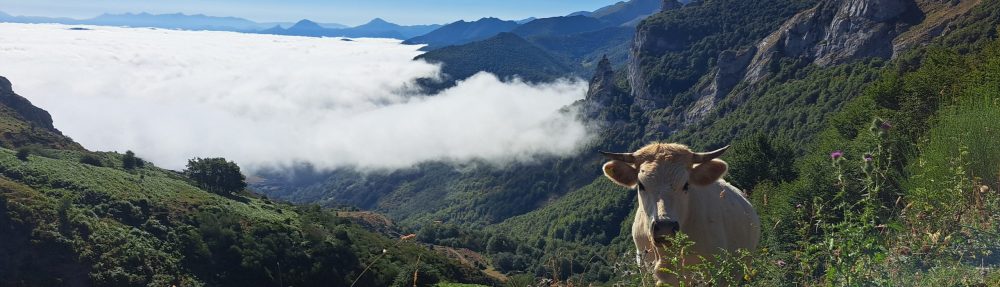
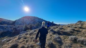
Quelques photos :
-
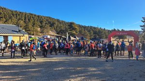
- Départ
-

- Courir sur les nuages